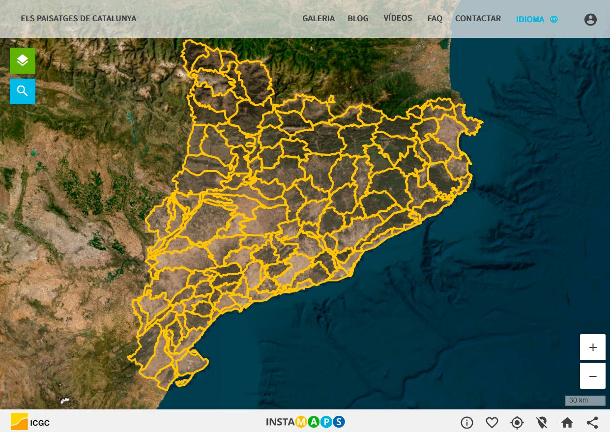
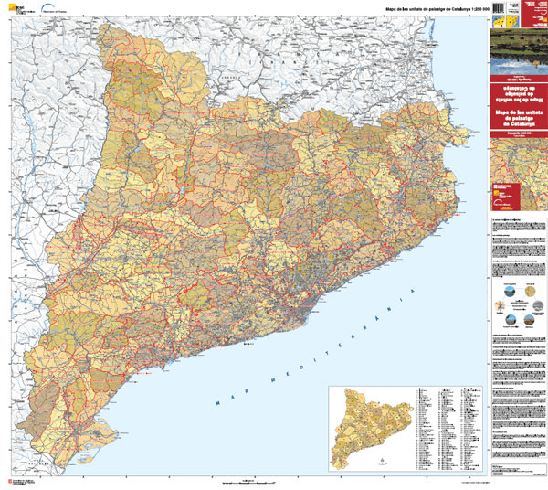
Map of the landscape units
The preparation of the landscape catalogues by the Landscape Observatory has meant that a map of the landscape units of Catalonia has been obtained. With 134 landscapes, the map shows the great diversity and wealth of landscapes in Catalonia, among the highest on the European continent, and makes the landscape our first-class heritage. The map also includes, on the back, the peculiarities and distinctive elements and identifies more than 500 miradors in the landscape catalogues of Catalonia.
The fact that the landscape map covers the entire territory indicates that, in landscape policies, all landscapes need to be considered and not just the most excellent or naturalised ones. A map of this kind enables us to flee from topics and to highlight landscapes that are particularly interesting, but that, on the other hand, are little-known and often even less valued .
The landscape units
Landscapes are dynamic by nature and these dynamics model their character without completely disfiguring it, while maintaining, over time, recognisable characteristic features that give it identity and personality. Thus, each of the 134 landscapes identified has a character of its own that differentiates it from the others.
A landscape unit is, therefore, a territory characterised by a combination of natural, cultural and symbolic features that give it a different character than the others and that is recognised as such by the population. The landscape catalogues give a new meaning to the landscape unit, as they pay growing importance to dynamic, perceptual and experiential elements of the landscape (in addition to the static and material ones), when defining their character. The fact that the definition of the units is based on their character, and not on their type (fir woods, dryland crop, riverbank forest, etc.), means that they show a certain internal heterogeneity, which can be far more clearly appreciated as the scale increases.
The landscape units do not just function as an area of understanding and description of the character of a certain landscape, but as an area for management, planning and intervention. The landscape units constitute the 134 basic territorial pieces in which to apply specific landscape policies, taking into account each character.
Therefore, the landscape units use the territorial planning instruments, urban planning and all the decisions on actions and interventions on the territory derived from the introduction of sectorial policies (infrastructures, agricultural, forestry, tourism). However, they are increasingly useful for the local administration and for civil society itself when promoting supramunicipal initiatives aimed at defending a certain landscape. Thus, the landscape units become authentic functional areas, points of reference, in which to apply initiatives, local strategies, to implement landscape directives, to offer guidelines for open spaces, to apply regulations or to design specific landscape projects, among other things.
The units also have a great educational and awareness creation potential. They are a powerful educational tool so that young people and the Catalan public in general can become aware of the landscapes in which they live, of the importance of their natural, cultural, social, productive, symbolic and identity-giving values, and also of their uniqueness, their potentials and their risks.
Public participation played a relevant role in the identification of the landscape units. Some more intangible aspects, such as the sense of belonging or the sense of place, which are fundamental in the definition of the unit, would not have been possible to identify without the participation of the population. Also, the involvement of the population in the naming of the landscape units was a determining factor in the recognition and later use of the final map.
Consulting and downloading the landscape units of Catalonia:
(last update: July 2025)