Landscape maps
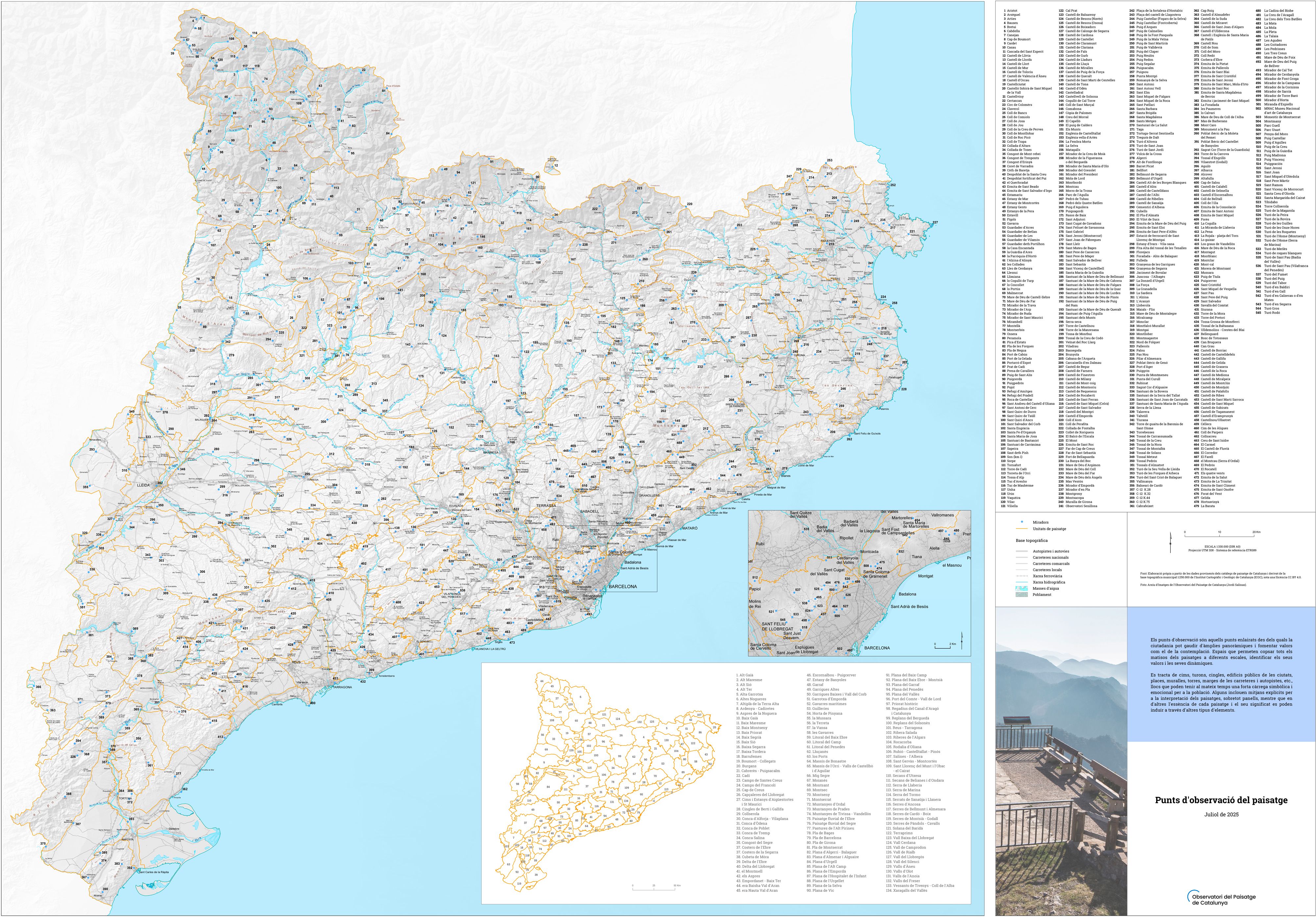
Viewpoints
Viewpoints are elevated vantage points from which citizens can enjoy sweeping panoramic views and foster values such as contemplation. These spaces allow for capturing all the nuances of landscapes at different scales, identifying their values and dynamics, and interacting with them.
These include peaks, hills, cliffs, public buildings in cities, squares, walls, towers, road and highway sides, etc.—places that can simultaneously carry a strong symbolic and emotional charge for the population. Some include explicit means for interpreting the landscapes, especially panels, while in others, the essence of each landscape and its meaning can be inferred through other types of elements.
Consulting and downloading the viewpoints of the landscape of Catalonia:
(last update: July 2025)
Content: Map of the viewpoints of the lanscape of Catalonia published by the Landscape Observatory. 1:330.000. Format: pdf
Content: veiwpoints of the landscape of Catalonia. Format: ArcGis shapefile
Content: viewpoints of the landscape of Catalonia. Format: Google Earth
kmz
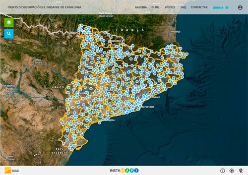
Content: the landscape units of Catalonia in Instamaps (ICGC)